WHAT IS A MAP?
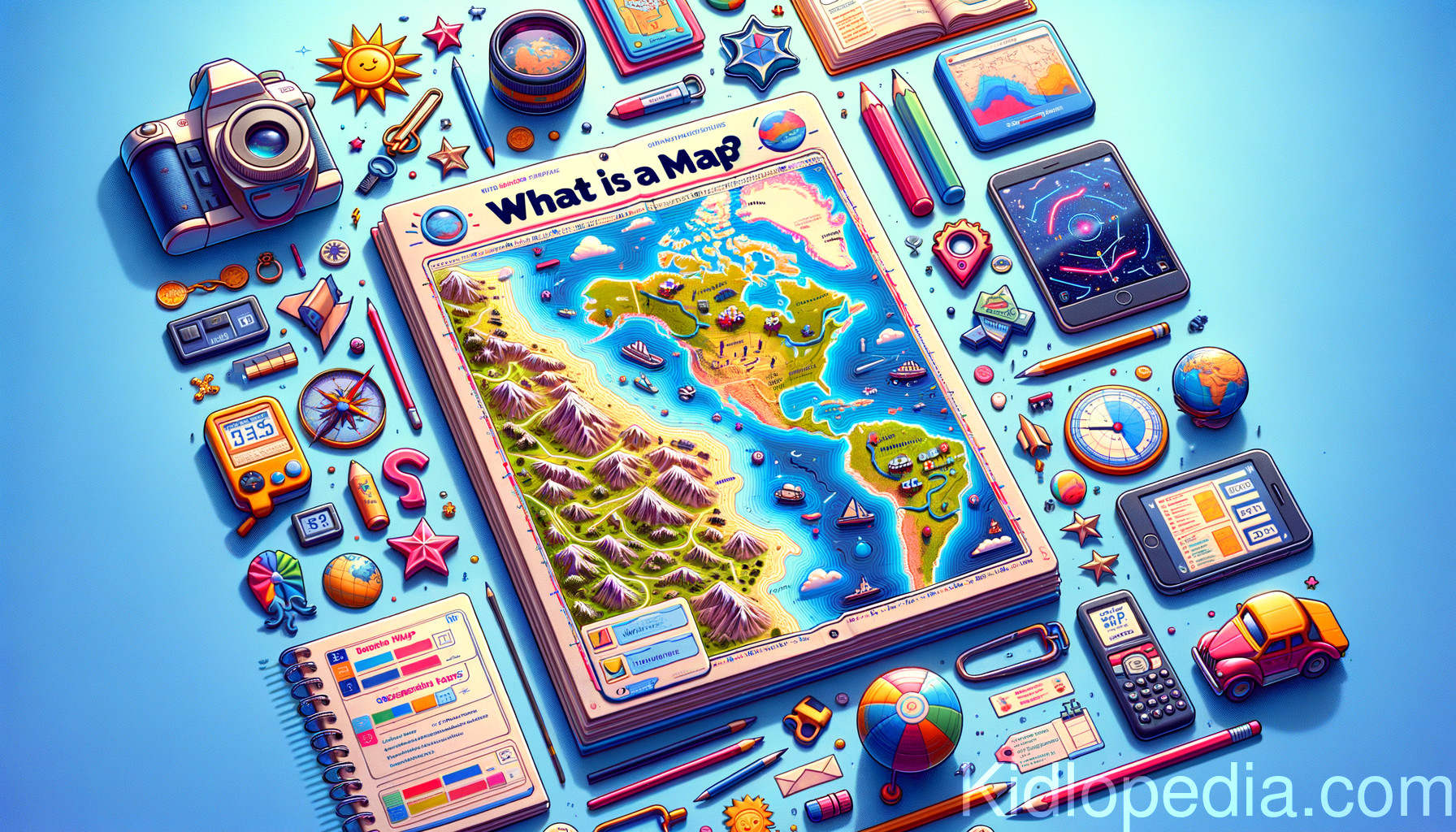
Maps are drawings or charts that represent places on Earth. They display locations, directions, and distances, helping people to travel and explore different areas. Maps can be found on paper or digitally on devices like phones and GPS, making it easier to understand geography and navigate the world.
A map is a drawing or chart of places on Earth.
Maps represent real locations, help us find directions, and show distances between places.
They can be flat like a paper map or digital like those on smartphones and GPS devices.
Maps can show different things.
Some maps focus on countries, cities, and roads.
Others might highlight mountains, rivers, or weather patterns.
There are also maps of outer space, showing the stars and planets.
Each type of map serves a specific purpose depending on what we want to learn or where we want to go.
To read a map, you often start with a legend.
The legend explains what symbols and colors mean.
For example, a blue line might represent a river, while a dotted line can show a hiking trail.
Maps also have a compass rose that shows directions—north, south, east, and west.
This helps us know where we are and where we need to go.
Maps have been used for thousands of years.
They help explorers, travelers, and scientists understand the world better.
With advances in technology, we now have digital maps that can guide us in real-time as we travel.
These maps can even alert us about traffic or weather conditions.
Did you know?
The oldest known map dates back to around 2,500 B.C. It was found in ancient Babylon! Also, some maps are made for fun, like treasure maps that show where hidden treasures might be located.
To learn more cool facts, visit Kidlopedia.com!
Maps represent real locations, help us find directions, and show distances between places.
They can be flat like a paper map or digital like those on smartphones and GPS devices.
Maps can show different things.
Some maps focus on countries, cities, and roads.
Others might highlight mountains, rivers, or weather patterns.
There are also maps of outer space, showing the stars and planets.
Each type of map serves a specific purpose depending on what we want to learn or where we want to go.
To read a map, you often start with a legend.
The legend explains what symbols and colors mean.
For example, a blue line might represent a river, while a dotted line can show a hiking trail.
Maps also have a compass rose that shows directions—north, south, east, and west.
This helps us know where we are and where we need to go.
Maps have been used for thousands of years.
They help explorers, travelers, and scientists understand the world better.
With advances in technology, we now have digital maps that can guide us in real-time as we travel.
These maps can even alert us about traffic or weather conditions.
Did you know?
The oldest known map dates back to around 2,500 B.C. It was found in ancient Babylon! Also, some maps are made for fun, like treasure maps that show where hidden treasures might be located.
To learn more cool facts, visit Kidlopedia.com!